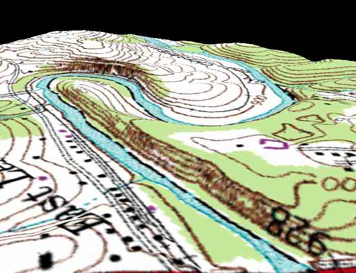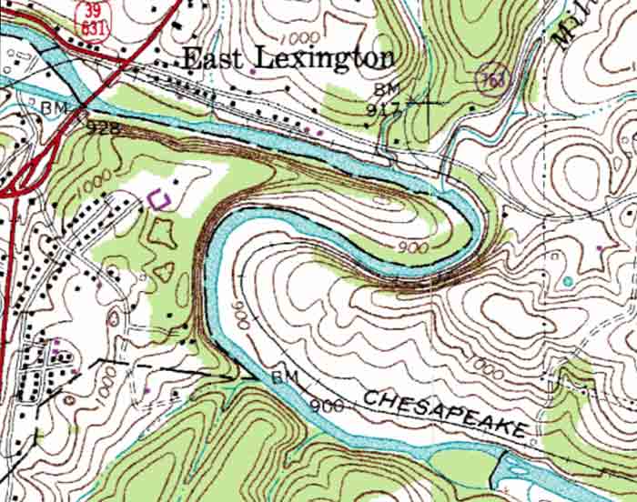
The above topographic map is taken from the Lexington, Virginia Quadrangle. The river shown above, the Maury River, meanders through the carbonate rocks of the Shenandoah Valley.
The image below divides the meander into areas of deposition and erosion. As water enters the meander it slows on the inside and deposits its load to form point bars. Conversly, as the water enters the meander on the outside it speeds up and erodes the surface to form a cut-bank. A cut-bank is an erosional area often under cut several feet. Beware of what your standing on when on the cut-bank side!
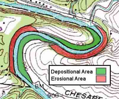
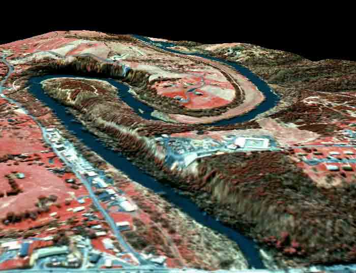
In the images below one can see the ponit bars on the inner side and steeply eroded banks on the outside.