
On a topographical map contour lines often form a V that opens towards lower elevations. Water flows out of the V, away from the point and towards the top of the V. In the topographical map of Davidson Run below one can see the V's whose points are oriented upstream or uphill.
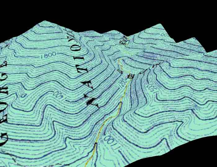
The image below showns the above topographical map in three dimensions. V's formed by the topographicl lines are visible.
In the aerial photograph we see Davidson Run the stream that flows in this valley. In addition to Davidson Run, we can see several landslides caused by the tremendous rainfall in 1995.

Back