Step 3 Making the Finished Map into a PDF
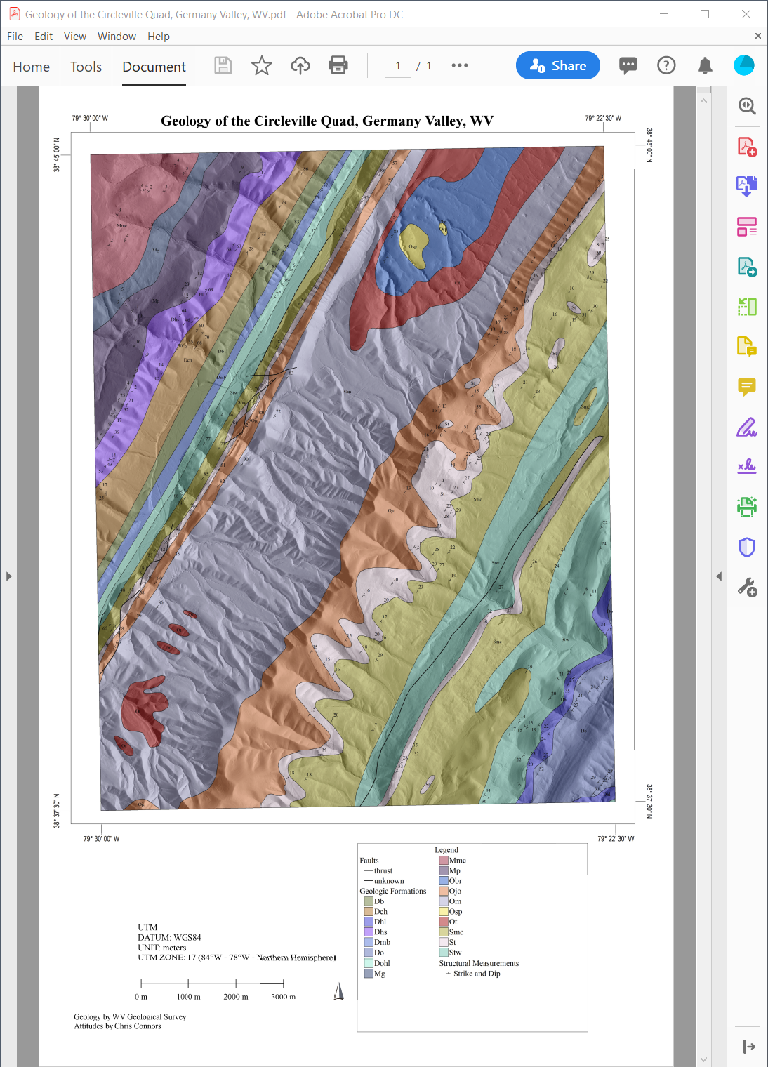
You must complete Step 2 before you complete this Step. This final Step 3 is due Fri by noon. In this step you are to complete your map by making it into a finished, professional-looking PDF, with a proper Legend, Scale, N Arrow, S&D symbols, formations labeled, Lon-Lat, Projection, Datum, etc. Look at the preexisting maps we have analyzed during this term to get a sense of what I mean, but basically it look like something below. Note, I have not changed the geologic contacts on this map yet from the WV State Geo map, so your geology should look different, see Step 2.
The final PDF should be on 22"x34" (ANSI D size) page. The Map scale should 1:24,000 (the standard for 7.5' topo quads).
The mechanics in GlobalMapper are as follows:
First open the Map Layout Editor (forth icon from the left that looks like a min dialog box). Note on my machine the Map Layout Editor was giving me errors for this project, but it still worked. So just dismiss them if you get them.
Define your page size, scale, etc. and save the template. After you do that, you should get a new Map Layout Editor window. You can always get back to this from the icon, and if need be choosing the template you saved to restore your settings (normally do not have to do this however).
You define all of the elements (Legend, Scale, etc), but right-clicking in this window and going from there. Just experiment and you will figure it out. Of course, email me with questions, but after all you have been through this term, this step will be easy for you!
One thing to note about this Map Layout Editor is that it is tied to the main Map Window. So any Layer you have turned on shows up in the Map Layout. Similarly, the legend item names are from the original Layer names. So you will want to change those (you wouldn't want your legend to say "formlineSD.txt" or "Circleville_geol_areas.shp" Those do NOT belong on a proper geologic map. Take pride in making it as true to a geologic map as you can. At this point it is irrelevant that you made the map in GM or on a computer at all.
Authorship should be the 3 team members. You can put modified from the WV Geological Survey if you like.
Your team is to email me their geologic map as a PDF by Fri at noon.
Here 